Most property owners may find themselves overwhelmed when faced with deciphering land maps to understand their property’s terrain. In this comprehensive guide, we will provide you with the knowledge and tools necessary to navigate land maps with confidence and ease. Understanding your property’s terrain is crucial for various reasons, including landscaping, construction, and ensuring the safety of your home or building. By the end of this guide, you will be equipped with the skills to interpret land maps effectively, allowing you to make informed decisions about your property.
Understanding Common Types of Land Maps
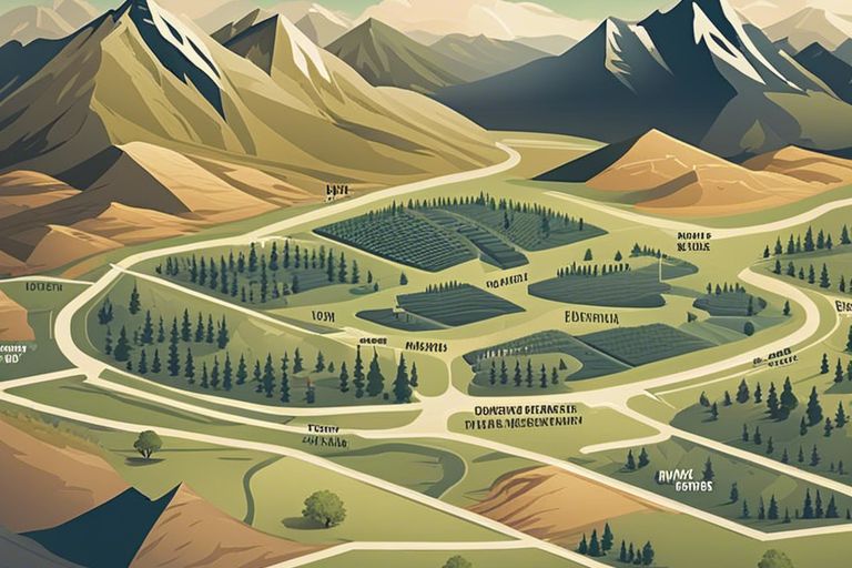
While navigating through the world of land maps can be overwhelming, understanding the common types of maps available can help simplify the process. Each type of map serves a unique purpose and provides valuable information about the terrain of a property. Importantly, knowing how to interpret these maps is important for landowners, real estate professionals, and outdoor enthusiasts alike.
| Topographic Maps | Plat Maps |
| Survey Maps | GIS Maps |
| Satellite Imagery Maps |
Topographic Maps
Land topography refers to the shape and elevation of the land surface. Topographic maps use contour lines to represent the elevation changes on the terrain. By understanding these lines, you can interpret the steepness of slopes, the presence of valleys, and the overall profile of the land.
Plat Maps
There’s nothing quite like a plat map when you need to understand the boundaries, divisions, and features of a specific property. These maps are drawn to scale and show property lines, easements, rights of way, and other important details about a land parcel.
To gain access to a plat map, you typically need to visit the county assessor’s office or reach out to a surveyor who has worked on the property.
Survey Maps
You can rely on survey maps for precise measurements and legal documentation of property boundaries. These maps are created by professional land surveyors and are crucial for property owners looking to develop, sell, or resolve boundary disputes.
Survey maps help in determining the exact size and shape of a property, as well as any encroachments or easements affecting the land.
GIS Maps
Nowadays, Geographic Information System (GIS) technology has revolutionized the way we analyze and visualize spatial data. GIS maps combine various layers of information, such as land use, zoning, environmental features, and infrastructure, to provide a comprehensive view of a specific area.
Plat maps can be overlaid with GIS maps to provide a more detailed understanding of a property’s characteristics and surroundings.
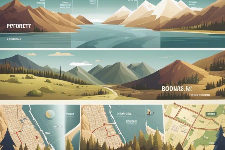
Satellite Imagery Maps
Clearly, satellite imagery maps offer a bird’s eye view of the land, showcasing detailed images captured from space. These maps provide real-time information about the physical features, vegetation cover, and developments on a property.
Types of satellite imagery maps include orthophotos, which are geometrically corrected to provide accurate representations of the earth’s surface.
Steps to Navigate Land Maps Effectively
Identifying Key Map Features
Steps to effectively navigate land maps include identifying key features such as water bodies, roads, and landmarks. Understanding these elements can help orient you on the map and provide crucial information about the terrain.
Reading Contour Lines and Elevation
Lines on a map represent contour lines, which indicate changes in elevation. By understanding how to read these lines, you can determine the steepness of a slope, the presence of ridges or valleys, and overall topography of the land.
To effectively read contour lines and elevation, pay attention to the spacing between the lines. Closer lines indicate steeper terrain, while lines spaced farther apart represent more gradual slopes. Understanding elevation changes is crucial for planning routes and assessing the difficulty of navigating specific areas.
Understanding Map Scales and Symbols
For precise navigation, it is imperative to understand map scales and symbols. Map scales indicate the ratio of the map to the actual terrain, helping you gauge distances accurately. Symbols on the map represent various features such as vegetation, buildings, and infrastructure, providing valuable information about the surroundings.
With a clear understanding of map scales and symbols, you can interpret maps more effectively, plan your route with accuracy, and make informed decisions during outdoor activities.
Utilizing Digital Tools and Software
Maps have evolved beyond traditional paper formats, with digital tools and software offering advanced features for land navigation. By utilizing digital tools, you can access real-time updates, customize map layers, and utilize GPS technology for precise positioning.
The integration of digital tools and software enhances your ability to navigate land maps efficiently, providing additional resources and functionalities to enhance your outdoor experience.
Factors Affecting Terrain Analysis
After acquiring a land map, understanding the factors influencing terrain analysis becomes necessary. Evaluating the features that affect the terrain can provide valuable insights into your property’s topography and its potential uses.
-
Natural Land Features
Assuming your property is surrounded by natural land features such as mountains, rivers, valleys, or forests, these elements can greatly influence the terrain. Understanding how these natural formations interact with your land can help you plan construction projects, assess drainage patterns, and determine where to locate different amenities on your property.
-
Man-Made Structures
Terrain analysis is also impacted by man-made structures such as buildings, roads, and fences. These structures can alter the natural flow of water, create barriers to movement, or affect the overall aesthetics of the landscape. When assessing man-made structures, consider their impact on the terrain and how they can be integrated harmoniously into the environment.
-
Climatic Influence on Terrain
Another critical factor affecting terrain analysis is the climatic conditions of the area. Climate influences soil composition, erosion patterns, vegetation growth, and overall land stability. Understanding how climate affects your property’s terrain can help you make informed decisions about landscaping, erosion control measures, and sustainable land management practices.
This comprehensive analysis of the factors affecting terrain can provide you with a deeper understanding of your property’s landscape and help you make informed decisions regarding land development and management.
Tips for Interpreting Your Property’s Terrain
Despite the complexities of land maps, there are key tips to help you interpret your property’s terrain effectively. This understanding is vital for making informed decisions about development and land use. Here are some vital guidelines to follow when analyzing your property’s terrain:
- Study the topographic features carefully
- Consider water drainage patterns
- Identify potential hazards such as steep slopes or flood-prone areas
Perceiving the terrain with a critical eye will allow you to unlock the full potential of your property while minimizing risks.
Assessing for Development Potential
Assuming you are looking to develop the land, assessing its potential for development is crucial. Consider factors such as the slope of the terrain, soil quality, and access to utilities. Conducting a feasibility study will help you determine the best use of your property while maximizing its value.
Recognizing Environmental Restrictions
Any property may be subject to environmental restrictions that limit development. Factors such as wetlands, protected habitats, or hazardous materials on the site can impact your building plans. It is vital to conduct thorough research and consult with local regulations to ensure compliance with environmental laws.
Interpreting zoning laws is crucial in understanding what activities are permitted on your property. Zoning regulations dictate land use, building heights, setbacks, and other restrictions that may affect your development plans. Consulting with local zoning officials or a land use attorney can help you navigate these regulations effectively.
Potential variances or special permits may be available to allow for specific land uses that do not conform with existing zoning laws. These exceptions can provide opportunities for unique development projects but require careful consideration and approval processes. It is vital to engage with the local zoning board to understand the requirements for obtaining variances and permits.
Weighing the Pros and Cons of Different Mapping Tools
All mapping tools have their own set of advantages and limitations that should be considered when choosing the right tool for navigating land maps. Below is a breakdown of the pros and cons of different mapping tools:
| Mapping Tool | Pros and Cons |
| Traditional Paper Maps | |
| Digital Solutions | |
| Remote Sensing |
Traditional Paper Maps Versus Digital Solutions
While traditional paper maps provide a sense of nostalgia and are reliable in areas with limited technology, digital solutions offer more interactive and customizable features. Digital mapping tools can provide real-time updates and incorporate various data layers for a more comprehensive understanding of the terrain. However, reliance on digital tools may pose challenges in remote locations with poor connectivity or in situations where technology fails.
Advantages and Limitations of Remote Sensing
Little is known about the capabilities of remote sensing technologies for mapping land terrain. Remote sensing allows for the collection of data from a distance, utilizing satellites and drones to capture detailed images and measurements of the land below. While remote sensing technology can provide valuable insights into topography, vegetation health, and land use patterns, it is limited by factors such as weather conditions, resolution of data, and cost of equipment. Sensing.
Conclusion
Drawing together the key concepts and techniques outlined in “Navigating Land Maps – A Guide To Understanding Your Property’s Terrain,” property owners can gain a deeper understanding of their land’s characteristics and make more informed decisions about land use and development. By learning how to read topographic maps, interpret contour lines, and understand the terrain features highlighted in maps, individuals can effectively navigate their property’s terrain and plan projects with efficiency and clarity. This guide serves as a valuable resource for property owners looking to unlock the potential of their land and navigate its unique terrain with confidence.