
It’s crucial for property owners, real estate agents, and land developers to have a clear understanding of property boundaries to avoid disputes and ensure legal compliance. Tax parcel maps are valuable tools that provide detailed information about property lines, dimensions, and ownership. By exploring property boundaries through tax parcel maps, individuals can gain valuable insights into land ownership, zoning regulations, and potential development opportunities. This blog post will investigate into the importance of tax parcel maps and how they can be utilized to navigate the complex world of property boundaries.
The Fundamentals of Tax Parcel Maps
Definition and Purpose
With the increasing complexity of property boundaries and land ownership, tax parcel maps have become crucial tools for land assessment and management. These maps provide detailed information on the boundaries, dimensions, and ownership of land parcels within a jurisdiction.
Reading and Interpreting Map Features
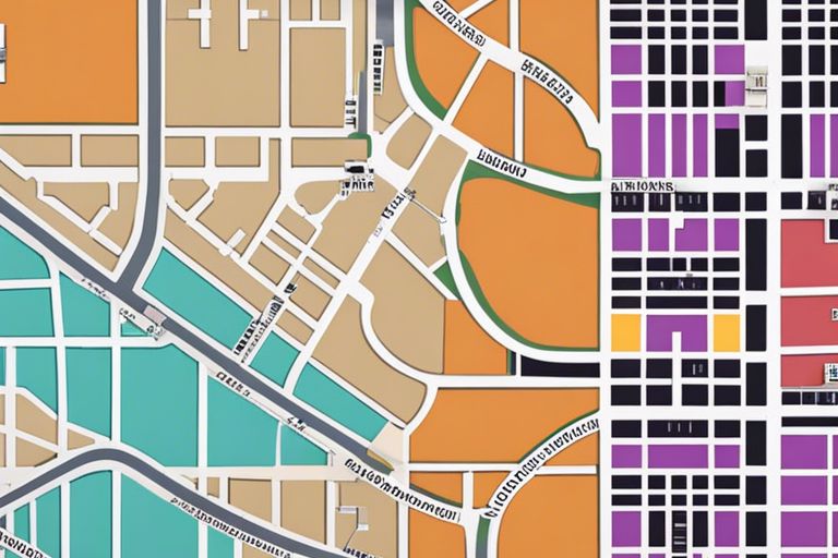
For individuals working in real estate, urban planning, or land development, understanding how to read and interpret the features of tax parcel maps is crucial. These maps contain key information such as lot lines, property dimensions, neighboring parcels, and zoning designations.
Features such as roads, rivers, and other landmarks are also commonly included on tax parcel maps to provide context and aid in locating specific parcels. Understanding how to navigate these features can help professionals make informed decisions regarding property boundaries and development projects.
Legal Implications of Property Boundaries
Boundary Disputes and Resolutions
For property owners, boundary disputes can be a major source of contention and legal issues. These disputes may arise due to unclear property descriptions, inaccurate surveys, or conflicts over physical encroachments. Resolving boundary disputes often involves hiring surveyors, consulting legal professionals, and potentially going to court to settle the matter.
Impact on Property Ownership and Taxation
To understand the legal implications of property boundaries, it is crucial to recognize how they can impact ownership rights and taxation. Property boundaries dictate the extent of ownership and usage rights a property owner has over their land. Inaccurate delineations can result in disputes with neighbors, affecting property values and potential tax assessments. It is imperative for property owners to accurately define their boundaries to avoid legal complications and ensure proper taxation.
Boundary: Property boundary lines determine the legal extent of ownership of a piece of land, including the right to access, develop, and use the property within those defined limits. Understanding property boundaries is crucial for property owners to protect their interests and avoid legal issues. Mapping tools, such as tax parcel maps, are valuable resources for identifying and confirming property boundaries to ensure compliance with zoning regulations and property tax assessments.
Technological Advancements in Parcel Mapping
Geographic Information Systems (GIS) in Parcel Mapping
Geographic Information Systems (GIS) have revolutionized the way property boundaries are mapped and analyzed. By integrating different types of data such as aerial imagery, land surveys, and tax records, GIS enables accurate and detailed mapping of property boundaries. This powerful technology allows for precise identification of boundaries, easements, and land-use patterns, providing valuable insights for property owners and real estate professionals.
Innovations in Digital Mapping and Data Accuracy
The evolution of digital mapping technologies has significantly improved the accuracy and efficiency of parcel mapping. Advanced software and tools now allow for the seamless integration of data from various sources, such as satellite imagery and LiDAR scans, to create highly detailed and precise maps. These innovations not only enhance the visualization of property boundaries but also contribute to the overall integrity and reliability of parcel maps.
Advancements in digital mapping have also led to improved data accuracy through advanced data processing techniques such as machine learning and artificial intelligence. These technologies help identify errors, eliminate inconsistencies, and enhance the overall quality of parcel maps. As a result, property owners and land professionals can rely on more accurate and up-to-date mapping information for making informed decisions about land use, development, and property management.
Navigating Challenges in Boundary Determination
Overlapping Jurisdictions and Conflicting Data
All property boundaries are subject to various jurisdictions and regulations, which can sometimes lead to overlapping boundaries and conflicting data. This can arise due to errors in historical records, changes in laws over time, or discrepancies in survey data. Resolving such challenges requires a meticulous review of all available information and consulting with relevant authorities to ensure accuracy and legal compliance.
The Role of Surveyors and Legal Professionals
Surveyors and legal professionals play a crucial role in property boundary determination. Surveyors are responsible for accurately measuring and mapping the physical boundaries of a property, while legal professionals interpret and apply relevant laws and regulations to determine the legal boundaries. By working collaboratively, surveyors and legal professionals can help resolve boundary disputes and ensure the integrity of property boundaries.
Overlapping jurisdictions and conflicting data can complicate the process of determining property boundaries, requiring a thorough examination of all available information and expert analysis to reach a resolution. Surveyors and legal professionals play a key role in navigating these challenges, using their expertise to ensure accurate boundary determination and legal compliance.
To wrap up
Taking this into account, tax parcel maps are a valuable resource for property owners and professionals involved in real estate transactions, land development, and boundary disputes. By leveraging the information contained in these maps, individuals can gain a clearer understanding of property boundaries, easements, and zoning regulations. The detailed and accurate data provided by tax parcel maps can help streamline decision-making processes, prevent legal disputes, and ensure compliance with local regulations. So, next time you find yourself on the edge of your property, remember to consult a tax parcel map for a comprehensive view of your land and its boundaries.