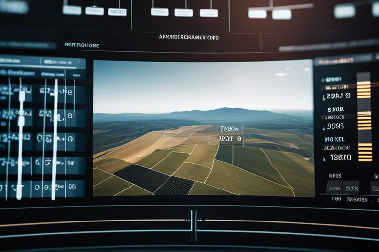
It’s vital for land managers and stakeholders to utilize the latest advancements in spatial analysis and mapping tools to enhance efficiency and effectiveness in land management practices. By harnessing the power of geographical information systems (GIS) and remote sensing technologies, professionals can make informed decisions about land use, resource allocation, and conservation strategies. This blog post will explore how these tools can be leveraged to streamline processes, optimize workflows, and ultimately achieve sustainable land management practices.
Fundamentals of Spatial Analysis in Land Management
Defining Spatial Analysis
Analysis in spatial terms involves examining the relationships between geographic data and utilizing techniques to uncover patterns, trends, and insights that can inform decision-making in land management. By analyzing the spatial distribution of features such as land use, soil types, elevation, and proximity to resources, stakeholders can better understand the dynamics of a particular area.
Components of Effective Spatial Analysis
Land management spatial analysis involves several key components, including data collection, data integration, data analysis, and visualization. Data collection involves gathering various geospatial data sets such as satellite imagery, aerial photographs, and GIS data layers. Data integration combines these datasets to create a comprehensive view of the landscape. Data analysis employs statistical and spatial modeling techniques to identify patterns and relationships, while visualization tools such as maps and charts help communicate findings to stakeholders.
Plus, incorporating spatial analysis into land management practices allows for better-informed decision-making, optimal resource allocation, and effective monitoring and evaluation of land use strategies. By leveraging spatial analysis tools and techniques, land managers can maximize efficiency, minimize risks, and promote sustainable land management practices.
Geographic Information Systems (GIS) in Land Management
Role of GIS in Land Management
One of the most valuable tools in modern land management practices is Geographic Information Systems (GIS). GIS allows land managers to capture, store, analyze, and present spatial and geographic data, helping them make informed decisions about land use and resource allocation. By utilizing GIS technology, land managers can create detailed maps, identify environmental patterns, and effectively plan for sustainable land development.
Integration of GIS with Other Land Management Tools
On top of its standalone capabilities, GIS can be seamlessly integrated with other land management tools to enhance efficiency and effectiveness. By combining GIS with tools such as remote sensing, GPS technology, and land surveying equipment, land managers can gather more comprehensive data and gain a deeper understanding of their land assets. This integration enables better decision-making, optimized resource management, and improved overall land productivity.
Remote Sensing and Its Application for Efficient Land Management
Overview of Remote Sensing Technologies
Sensing technologies have revolutionized the way land managers assess and monitor their resources. Remote sensing involves capturing information about the Earth’s surface without direct physical contact. This can be done through aerial photography, satellite imagery, or even drones equipped with sensors. These technologies provide valuable data that can be used to analyze land use changes, monitor vegetation health, and detect potential risks such as erosion or deforestation.
Benefits of Remote Sensing for Land Management
An imperative benefit of remote sensing for land management is the ability to gather large-scale data efficiently and cost-effectively. By utilizing remote sensing technologies, land managers can make informed decisions based on real-time information, leading to improved resource allocation and more effective planning strategies. Additionally, remote sensing allows for the monitoring of large land areas that may be inaccessible or challenging to survey on the ground, enabling comprehensive assessment and management of natural resources.
Understanding the benefits of incorporating remote sensing into land management practices is crucial for maximizing efficiency and sustainability. By harnessing the power of spatial analysis and mapping tools, land managers can enhance their decision-making processes and ultimately optimize the use of land resources for current and future generations.

Implementation Strategies for Maximizing Efficiency
Best Practices in Spatial Analysis and Mapping
Practices in spatial analysis and mapping play a crucial role in maximizing land management efficiency. It is vital to ensure accurate data collection, utilize advanced mapping tools, and incorporate remote sensing technology for precise spatial analysis. By following best practices in data interpretation, visualization, and decision-making, organizations can optimize their land management strategies for enhanced efficiency.
Overcoming Challenges in Technology Adoption
Spatial technology adoption can present challenges such as data integration, complex software interfaces, and lack of technical expertise. Overcoming these challenges requires investing in training programs, collaborating with experienced professionals, and gradually implementing technology upgrades. By addressing issues related to data compatibility and user proficiency, organizations can successfully transition to advanced spatial analysis and mapping tools for improved land management efficiency.

